Monitoring forest change
DIVERSA SP2 - Monitoring of forest structure, biodiversity, and climate-related forest disturbances using satellite and airborne imagery and LiDAR data.

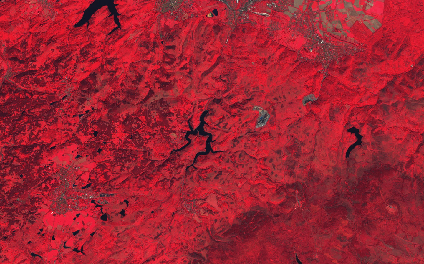
Development of a multi-scale remote sensing system for the monitoring of forest structure, biodiversity, and climate-related disturbances in Lower Saxony’s forests.

Forests are increasingly affected by climate-related disturbances such as storms, droughts, and bark beetle infestations. To better understand and respond to these challenges, we are developing a remote sensing-based monitoring system for forest changes that provides up-to-date information on disturbances, as well as on habitat characteristics that can be used to assess biodiversity status.
We use technologies such as Airborne Laser Scanning (ALS) and photogrammetric point clouds to capture detailed structural features of forests, including tree heights, canopy densities, and tree counts. These high-resolution spatial data are complemented by satellite imagery, which allows for large-scale monitoring of forest changes with high temporal frequency. The combination of satellite and airborne systems unlocks the great potential of remote sensing to monitor climate-induced forest changes.
In Phase I, subproject 2 (SP2) will identify forest structural indicators linked to disturbance susceptibility and develop a multi-scale monitoring system for the forests of Lower Saxony. In Phase II, the focus will shift to deriving biodiversity indicators from remote sensing data and integrating them into the monitoring system.
SP2 works closely with other subprojects to ensure seamless data exchange and effective integration. The remote sensing products developed in SP2 support biodiversity modeling (SP4), disturbance probability modeling (SP6), and communication strategies (SP7 & SP8). By aligning with the information needs of relevant stakeholders, SP2 contributes to a comprehensive forest monitoring system that provides current and relevant information for science, policy, and sustainable forest management.
Contact persons

 Jens WiesehahnNorthwest German Forest Research Institute, Department of Forest Protection
 Jessica Soto-BalvaneraTechnical University of Munich, School of Life Sciences, Professorship of Earth Observation for Ecosystem Management
Blog
All
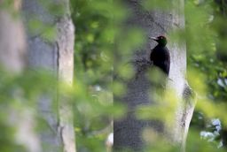
Is the black woodpecker endangered in Lower Saxony due to the loss of coniferous wood caused by calamities?
A guest contribution by Dr. Marcus Schmidt and David Singer from the Northwest German Forest Research Institute
3 min. Reading time
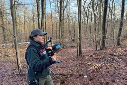
Laser scans in the forest: measuring CO₂ between red beeches and deadwood
What a windless morning, 1,000 square meters of forest, and a laser scanner reveal about carbon storage.
4 min. Reading time
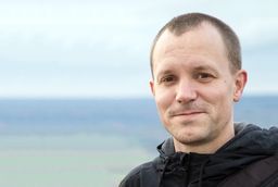
1.5 – one scientist, five questions with Prof. Dr. Andreas Schuldt
Head of the Department of Forest Nature Conservation at Georg August University of Göttingen and sub-project lead at the Climate Future Lab DIVERSA
7 min. Reading time